Severe Weather Alert - Sunday, July 26, 2026
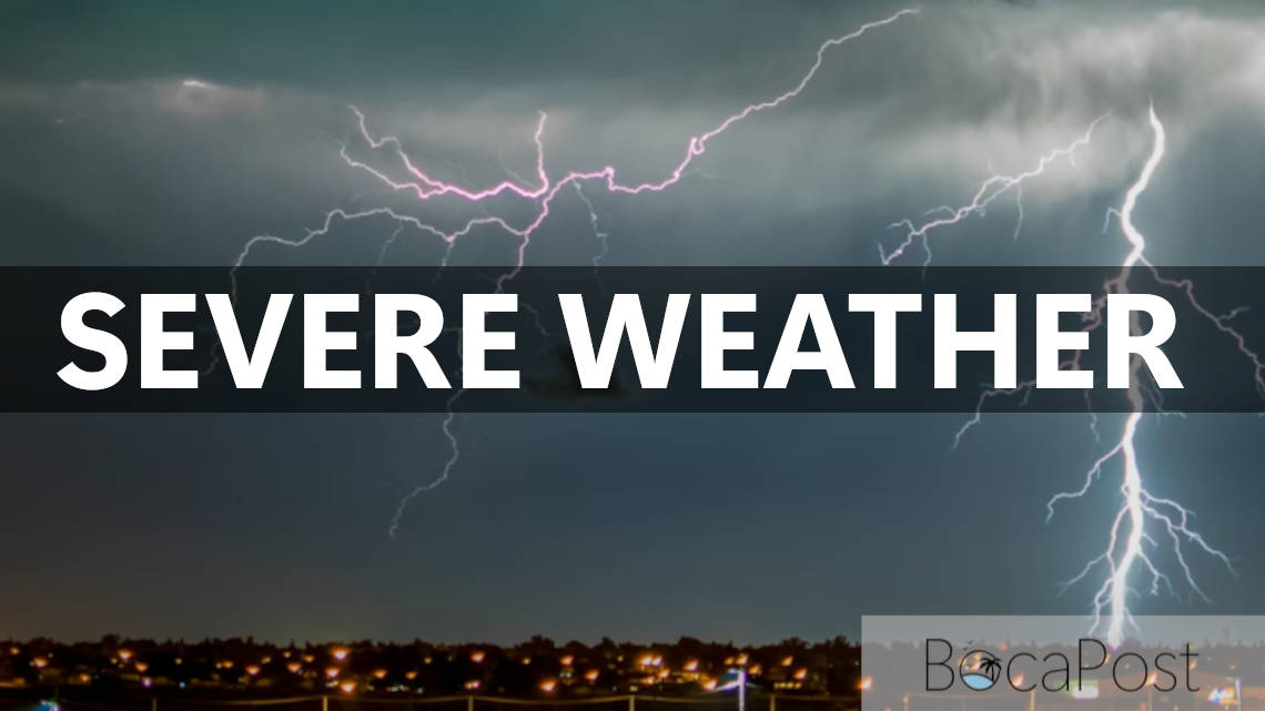
BOCA RATON, FL — South Florida’s late-day storm pattern is turning dangerous Sunday evening as scattered thunderstorms intensify across the metro area. A Severe Thunderstorm Warning remains in effect for Broward County until 6:15 p.m., and while the warned storm is currently focused near Alligator Alley, residents in the Boca Raton area should be prepared for rapidly changing conditions, including damaging wind, hail, frequent lightning and brief flooding on roads during the evening commute.
As of 5:50 p.m., the National Weather Service said a severe thunderstorm was located over Mile Marker 30 on Alligator Alley—about 17 miles northwest of Pembroke Pines—and is nearly stationary. Radar indicates the storm is capable of producing wind gusts up to 60 mph and half-dollar-size hail (around 1.25 inches).
Impacts can include hail damage to vehicles and wind damage to roofs, siding and trees. The warning specifically highlights locations along Alligator Alley, including the East Toll Gate, the intersection of Alligator Alley and the Miami Canal, Miccosukee Service Plaza and the West Broward Recreation Area.
For Boca Raton and the northern Broward/southern Palm Beach corridor, the biggest concern is that severe storms can pulse up quickly and send out strong wind gusts well away from the heaviest rain. If you’re driving—especially on I-95, Florida’s Turnpike, or heading west toward the Everglades—be ready for sudden low visibility, ponding on roads and debris from downed branches.
The NWS also warns of continuous cloud-to-ground lightning; if you can hear thunder, move indoors immediately. Torrential rainfall may trigger isolated urban or poor-drainage flooding, and the warning notes a tornado is possible.
Important Information
- Severe Thunderstorm Warning for Broward County until 6:15 PM EDT (NWS Miami).
- Hazards: 60 mph wind gusts and half-dollar size hail (max hail size 1.25 inches).
- Storm location: near Mile Marker 30 on Alligator Alley; nearly stationary.
- Additional threats: continuous cloud-to-ground lightning, torrential rainfall with flash flooding risk, tornado possible.
Track the latest South Florida radar and National Weather Service updates for Boca Raton, Broward and Palm Beach County as storms evolve through the evening.
Update (Jul 26, 6:06 PM ET) — Alert Canceled
The National Weather Service has canceled or allowed this severe weather alert to expire. Conditions no longer warrant a warning for the area.
Update (Jul 26, 6:06 PM ET) — Alert Canceled
The National Weather Service has canceled or allowed this severe weather alert to expire. Conditions no longer warrant a warning for the area.