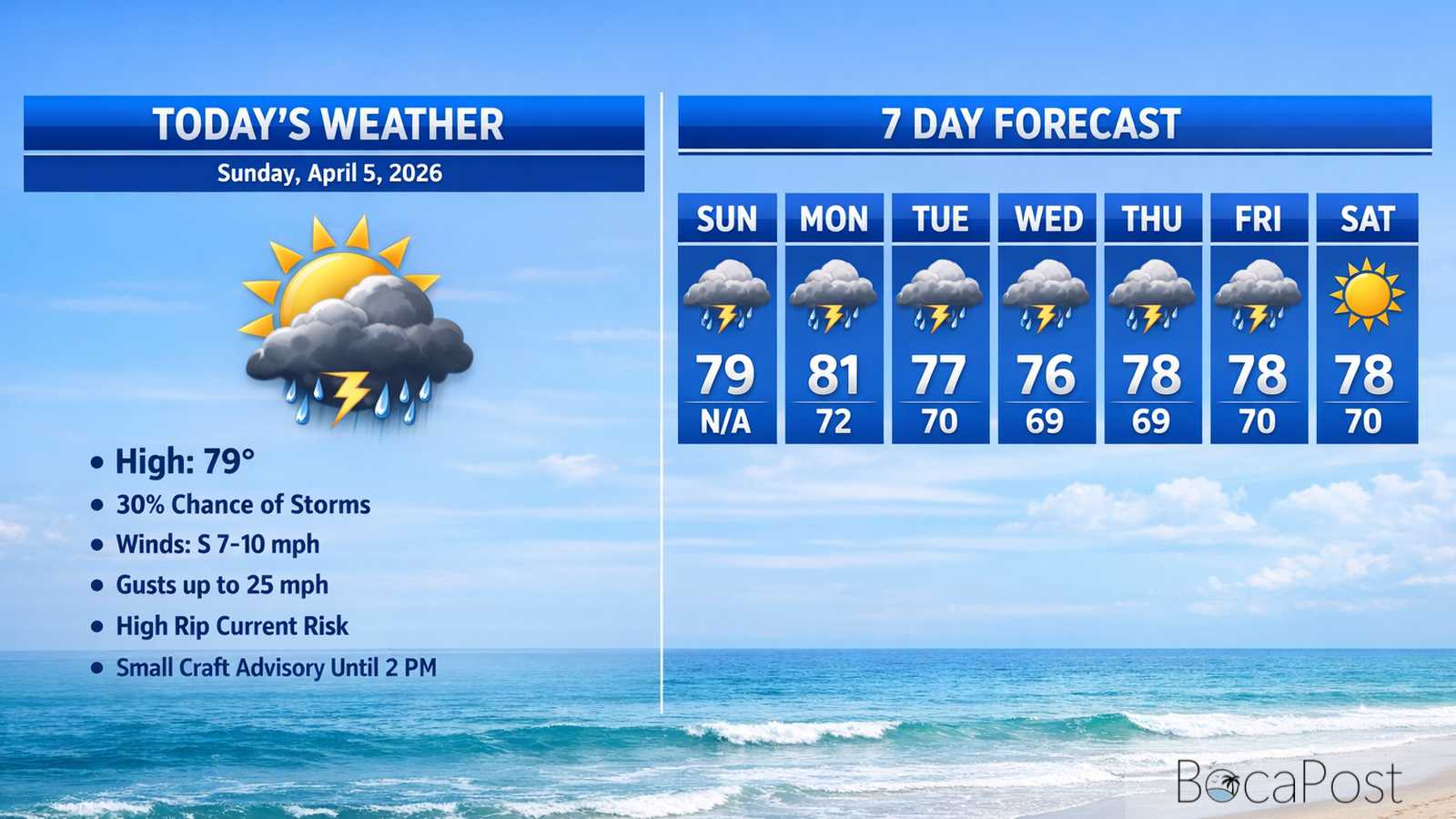
Today's Weather - Monday, April 6, 2026
BOCA RATON, FL (Boca Post) (Copyright © 2026) — Monday, April 6, 2026 BOCA RATON, FL (Boca Post) (Copyright © 2026) — Boca Raton will run mostly sunny early today with a few quick showers possible, then a better chance of showers and thunderstorms develops after mid-afternoon. Highs top out near 80 with an east breeze around 6 to 10 mph. Tonight turns more unsettled, with storms likely at times and periods of rain continuing toward daybreak. The bigger story arrives Tuesday into Wednesday: widespread rain chances, stronger onshore winds, and rough surf that can create beach and boating hazards
South Florida is sitting in a very moist pattern again today, and that moisture is the fuel for the daily round of showers and thunderstorms. The National Weather Service notes a cold front is sliding through the Deep South and into Florida, but it is expected to slow down and stall near Lake Okeechobee on Tuesday.
For Boca Raton, that means we stay on the warm, humid side of the setup while winds continue to come in off the Atlantic. For Monday, the onshore breeze should push a few showers toward the coast during the morning and early afternoon, with more storms developing later as the day heats up.
Compared to recent days, the steering winds look a bit weaker, which could allow stronger storms to pop up farther east than usual, including parts of Palm Beach County. While the heaviest totals are still favored well inland and toward the Gulf side, Boca can still get hit by a downpour and frequent lightning in any storm that forms.
Tuesday is when the pattern becomes more active. A disturbance passing across northern Florida is expected to boost lift in the atmosphere, and the stalled front to our north helps focus showers.
Boating conditions deteriorate quickly after today. Winds are relatively light Monday (around 10 knots) with seas near 2 feet, but northeast winds increase Tuesday and become strong Tuesday night into Wednesday.
The Atlantic waters off Palm Beach County are forecast to build to 6–9 feet Tuesday night, with occasional 11-foot seas, and even higher seas possible Wednesday (7–10 feet with occasional 13 feet). Expect choppy to rough conditions in the Intracoastal, especially in exposed areas, plus reduced visibility in heavier rain and thunderstorms.
Beachgoers should also plan for building surf and a sharply higher rip current risk by midweek.
Current Advisories / Watches / Warnings
- High Rip Current Risk from Tuesday evening through Wednesday evening for FLZ168-172-173.
- Small Craft Advisory from 8 PM Tuesday to 8 PM EDT Wednesday for AMZ650-670.
- Small Craft Advisory from 8 AM to 8 PM EDT Wednesday for AMZ651-671.
- Rip Current Statement.
7 Day Outlook
- Monday: Mostly sunny early, then a 30% chance of showers and thunderstorms after mid-afternoon. High near 80. East wind 6–10 mph. Keep an eye out for lightning late day.
- Tuesday: Wet and unsettled with showers and storms likely most of the day. High near 77. Northeast wind 6–11 mph. Around 1 inch of rain possible, with localized higher totals.
- Wednesday: Another very wet day with a 90% rain chance and occasional thunderstorms. High near 76. Strong, gusty east winds (gusts near 25 mph) and rough surf; localized flooding possible.
- Thursday: Still showery with thunderstorms possible, though rain coverage may ease a bit compared to Wednesday. High near 77. Breezy east winds continue; beach and boating conditions remain hazardous.
- Friday: Some improvement, but not fully dry—40% chance of showers and a few afternoon storms. High near 79. Northeast breeze continues with occasional gusts; seas and surf stay elevated.
- Saturday: Partly sunny with a 30% chance of showers and thunderstorms. High near 78. Humidity remains noticeable, but rain should be more hit-or-miss than midweek.
- Sunday: Mostly sunny and breezy with only a 20% chance of a passing shower. High near 78. If the drier air holds, it should feel a bit more comfortable than earlier in the week.
Get the latest Boca Raton Weather outlook for today through the week, including storm timing, flooding concerns, and beach and boating hazards.