Today's Weather - Saturday, April 4, 2026
BOCA RATON, FL (Boca Post) (Copyright © 2026) — Saturday, April 4, 2026 BOCA RATON, FL (Boca Post) (Copyright © 2026) — Mostly sunny and breezy today with a high near 80 degrees, and only a 30% chance of a shower or thunderstorm, mainly mid-to-late afternoon. East winds stay steady around 15 mph with gusts over 20 mph, which will keep it feeling cooler near the beach but also rough on the water. Tonight stays mild near 72 with a few passing showers possible. The most important safety note: dangerous rip currents remain a high risk at all Atlantic beaches through Sunday evening
Boca Raton’s weather today is being driven by a strong area of high pressure sitting over the region, keeping a steady onshore (east) wind in place. That easterly breeze is why the morning starts comfortable and why the beach and boating conditions stay choppy, even though skies are mostly sunny.
With the sun heating up the land this afternoon, the usual sea-breeze pattern will try to spark a few quick-moving showers. The National Weather Service notes that the air a few miles up is unusually cool for early April, which can help a storm grow taller if one forms.
Still, the overall setup is not very storm-friendly because the high pressure is in control and the air aloft is fairly dry. Bottom line: most neighborhoods stay dry, but a brief downpour or lightning storm can’t be ruled out, especially later in the day.
Sunday is the start of a transition. A large storm system over the central U.S.
Onshore winds remain the big story for the coast. Today and tonight, east winds around 15–20 knots (gusts higher) keep the Atlantic waters rough, with seas generally 4–6 feet and occasional higher sets offshore.
The Intracoastal will be choppy in exposed areas. A Small Craft Advisory is in effect for the Atlantic waters (and Biscayne Bay per the forecast discussion), and conditions remain hazardous for smaller boats.
Beachgoers should take the High Rip Current Risk seriously through Sunday evening; swimming is strongly discouraged near unguarded areas. Winds ease some Sunday, but showers and storms become more likely as moisture increases.
Current Advisories / Watches / Warnings
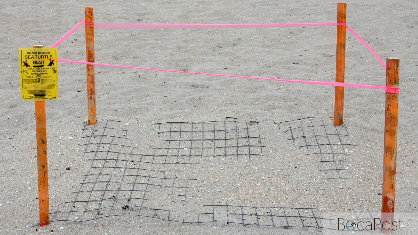
- High Rip Current Risk through Sunday evening for FLZ168-172-173.
- Small Craft Advisory until 1 AM EDT Sunday for AMZ630.
- Small Craft Advisory until 6 AM EDT Sunday for AMZ650-651-670-671.
7 Day Outlook
- Saturday: Mostly sunny and breezy with a high near 80. A 30% chance of a brief shower or thunderstorm mid-to-late afternoon. East wind 14–16 mph with gusts around 23 mph.
- Sunday: Mostly sunny but more humid with a 40% chance of showers and thunderstorms, especially late morning through afternoon. High near 80. Breezy east wind with occasional gusts near 20 mph.
- Monday: Turning more unsettled. Scattered showers and thunderstorms possible at almost any time, with rain chances increasing through the day. High near 80. Lighter east winds, but keep an eye out for lightning.
- Tuesday: Wettest stretch begins. Showers likely with thunderstorms possible; periods of rain could be heavy at times. High near 78. Winds trend northeast and may increase later, adding a cooler, damp feel.
- Wednesday: Continued rounds of showers and thunderstorms with breezy to windy east winds. High near 76. If you have outdoor plans, expect interruptions and allow extra time for downpours and slick roads.
- Thursday: Showers and thunderstorms likely, though not necessarily all day. Partly sunny breaks are possible between rain bands. High near 79. Breezy conditions may continue along the coast and on the water.
- Friday: A bit less active but still not fully dry—about a 30% chance of showers and thunderstorms. Mostly sunny and breezy with a high near 80. Watch for lingering coastal hazards if winds stay up.
Get the latest Boca Raton Weather update, including today’s breezy conditions, storm chances, and the ongoing high rip current risk at Atlantic beaches.