Severe Weather Alert - Sunday, July 12, 2026
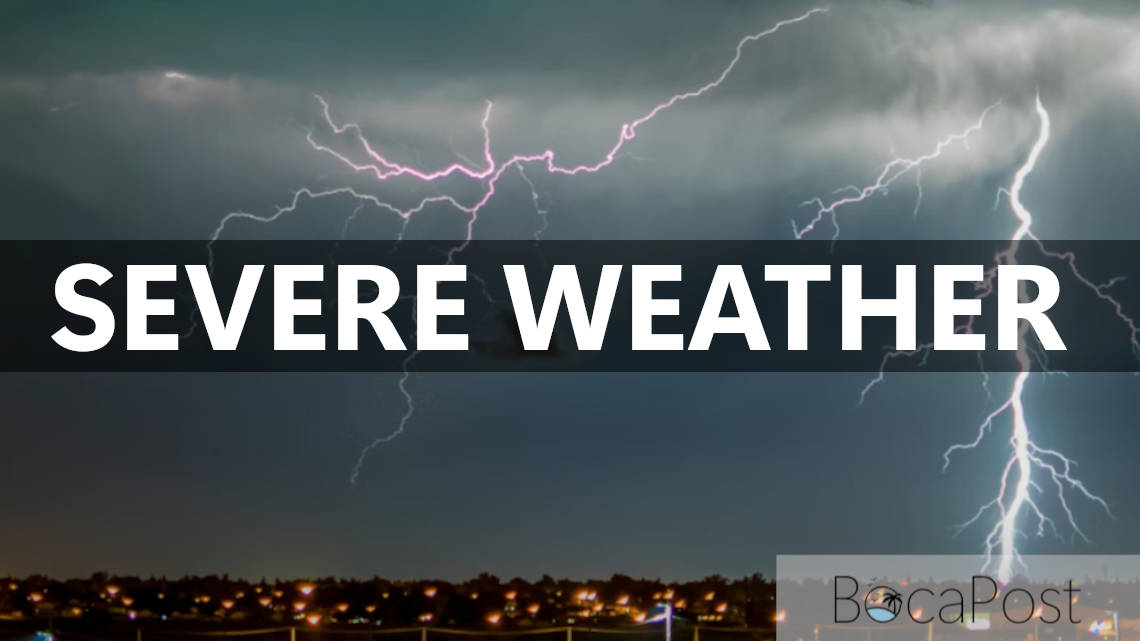
BOCA RATON, FL — South Florida is dealing with a dangerous evening round of storms as the National Weather Service in Miami continues a Severe Thunderstorm Warning until 8 p.m. Sunday for Broward and south-central Palm Beach counties, including areas west of Boca Raton. At 7:34 p.m., radar showed severe storms lined up near Alligator Alley and the Miccosukee area and moving very slowly, a setup that can prolong hail, wind and flooding impacts in the same locations.
Lightning is also a major threat with these storms. If you can hear thunder, you are close enough to be struck—move indoors immediately.
Because the storms are nearly stationary, torrential rainfall may repeatedly fall over the same areas, increasing the risk of rapid street flooding and dangerous ponding on highways. The NWS specifically urges extreme caution for drivers on I-75 near the Miccosukee Indian Reservation and nearby service areas: be prepared for sudden whiteout rain, strong crosswinds and large hail.
If you encounter flooded roads, turn around—don’t drive through water.
Important Information
- Severe Thunderstorm Warning remains in effect until 8:00 PM EDT Sunday for Broward County and south-central Palm Beach County (also includes east-central Collier).
- Hazards: 2.00-inch hail and 60 mph wind gusts (radar indicated).
- Impacts: hail damage to roofs, siding, windows and vehicles; wind damage to roofs, siding and trees; injuries possible to people and animals outdoors.
- Additional threats: continuous cloud-to-ground lightning; torrential rainfall with potential flash flooding.
- Safety: move to an interior room on the lowest floor; avoid travel on I-75/Alligator Alley near the Miccosukee area; never drive through flooded roadways.
Track the latest South Florida warnings and radar updates from the National Weather Service Miami and local emergency alerts as conditions change quickly this evening.