BOCA RATON, FL (Boca Post) (Copyright © 2026) — Boca Raton stays sunny today with a steady breeze, a cooler night, and hazardous Atlantic boating conditions under a Small Craft Advisory through Sunday evening.
Today’s Weather – Saturday, February 7, 2026
Boca Raton is set up for a clean, bright Saturday, the kind of winter day that looks perfect from the porch but still has some bite in the wind if you’re out along the beach or crossing open stretches near the Intracoastal.
The National Weather Service forecast for 2 miles east-southeast of Boca Raton Airport calls for sunny skies today with a high near 73. The wind is the main storyline: a west wind around 14 mph is expected to turn north this afternoon. Gusts could reach as high as 20 mph. That’s enough to kick up sand along the shoreline and make it feel a little cooler when you’re walking the beach, heading over a bridge, or moving through exposed areas along the I-95 corridor.
If you’re running errands or driving east toward the water, expect that breeze to be noticeable on roads like Glades Road and Yamato Road, especially where traffic opens up and the wind has room to move. West Boca neighborhoods will still get the sun and mild temps, but it can feel cooler when that north wind settles in later.
Tonight stays quiet and dry. Skies are expected to be mostly clear with a low around 56. North winds remain in play at 10 to 14 mph, with gusts again up to 20 mph. That means the evening will cool down quickly after sunset, especially in more open areas and anywhere you catch the wind off the water. If you’re out for dinner or a late walk, it’s a jacket night, even if the day felt comfortable.
Behind the scenes, the broader pattern over South Florida is still being driven by high pressure and an unusually dry air mass, which the Weather Service notes is among the driest for this date. That’s a big reason we’re seeing such calm, rain-free weather. A weak backdoor cold front is expected to pass through Saturday night, which helps explain why temperatures dip again overnight before gradually warming up into next week.
One more thing to flag from the Weather Service discussion: low relative humidity today could support enhanced fire behavior in parts of South Florida. The lowest humidity is expected farther inland, but the takeaway is simple: it’s very dry out there, and vegetation is dry too. If you’re doing yard work, grilling, or anything that creates sparks, be cautious.
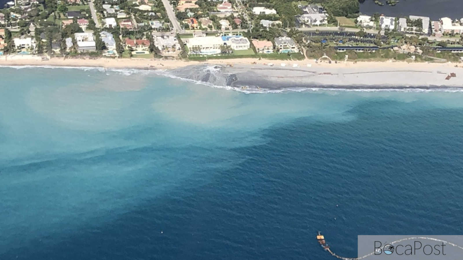
Along the water, the forecast is more serious offshore than it looks from the beach chair. Hazardous marine conditions continue across the Atlantic waters this weekend, with elevated seas and strong winds. That’s not just a note for boaters. It also ties into the rip current setup along the Atlantic beaches.
The Weather Service says an elevated risk for rip currents returns to the Atlantic beaches this weekend, with a high risk expected as winds turn onshore and stay breezy. Even on a sunny day, those currents can be dangerous. If you’re heading to Boca’s beaches, this is the kind of day to stay close to shore, avoid swimming alone, and take posted warnings seriously.
Marine details (Jupiter Inlet to Deerfield Beach waters, including the Boca area):
For today, northwest winds 20 to 25 knots are expected, becoming north 15 to 20 knots this afternoon. Seas run 6 to 8 feet, occasionally up to 10 feet. Intracoastal waters are forecast at a moderate chop. Tonight, north winds 15 to 20 knots continue with seas 5 to 8 feet, occasionally up to 10 feet, and choppy conditions in exposed Intracoastal areas.
Current Advisories / Watches / Warnings
Small Craft Advisory remains in effect until 7 PM EST Sunday for Atlantic waters from Jupiter Inlet to Deerfield Beach out 20 nautical miles and from 20 to 60 nautical miles offshore. Conditions include north winds 20 to 25 knots with gusts up to 30 knots and seas 5 to 8 feet, creating hazardous conditions for small craft.
7 Day Outlook
Today (Sat): Sunny and breezy, high near 73. West wind around 14 mph shifting north in the afternoon, gusts up to 20 mph. Offshore seas remain rough, and rip current risk is elevated along Atlantic beaches.
Tonight: Mostly clear, low around 56. North wind 10 to 14 mph with gusts up to 20 mph. Cooldown is noticeable after dark.
Sunday: Mostly sunny, high near 70 with a northeast wind around 11 mph. Marine conditions remain hazardous offshore with seas still elevated, though winds ease compared to Saturday.
Sunday Night: Mostly clear, low around 57. East wind 5 to 7 mph. Offshore seas begin to ease but remain higher than typical.
Monday: Sunny, high near 72. North wind 6 to 8 mph becoming east in the afternoon. Offshore conditions improve compared to the weekend, with seas lowering.
Monday Night: Mostly clear, low around 58. Southeast wind around 6 mph becoming west after midnight. Quiet, mild night.
Tuesday: Sunny, high near 74. Northwest wind 5 to 8 mph becoming southeast in the afternoon. Continued dry pattern, warming trend starts to show.
Tuesday Night: Mostly clear, low around 62. Southeast wind around 6 mph becoming west after midnight.
Wednesday: Mostly sunny, high near 76. Northwest wind 5 to 8 mph becoming southeast in the afternoon. Warmer daytime feel, still dry.
Wednesday Night: Mostly clear, low around 60.
Thursday: Sunny, high near 77. Mild winter warmth continues.
Thursday Night: Mostly clear, low around 60.
Friday: Mostly sunny, high near 77. The pattern stays mostly dry with only a possible increase in cloud cover later in the week.
Source: National Weather Service Miami forecast for 2 Miles ESE Boca Raton Airport FL, updated 4:17 a.m. Feb. 7, 2026, and NWS Miami Area Forecast Discussion and marine advisories.
Track Boca Raton weather conditions, rain chances, advisories, and coastal impacts affecting Boca Raton.